Log in
All resources
Create a design
1,579 Free Artworks of Maps Of Africa
university of texas at arlington
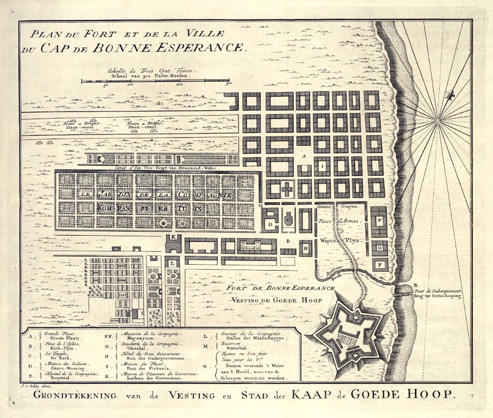
maps of the dutch east india company - south africa
colored engraving on paper
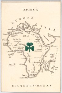
old maps of africa
asia and africa
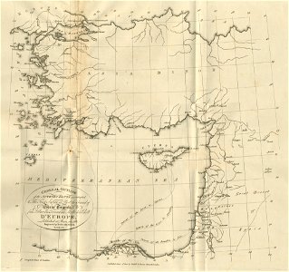
travels in various countries of europe
military maps
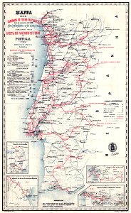
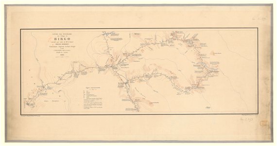
french colonization in africa
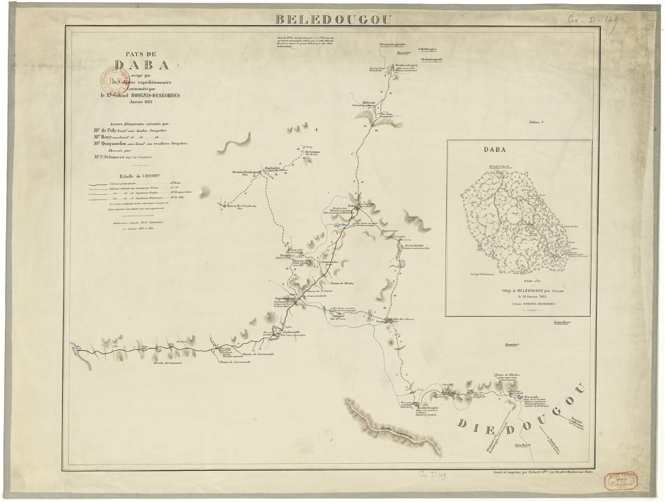
expéditions delanneau et borgnis-desbordes
english-language maps of africa
maps
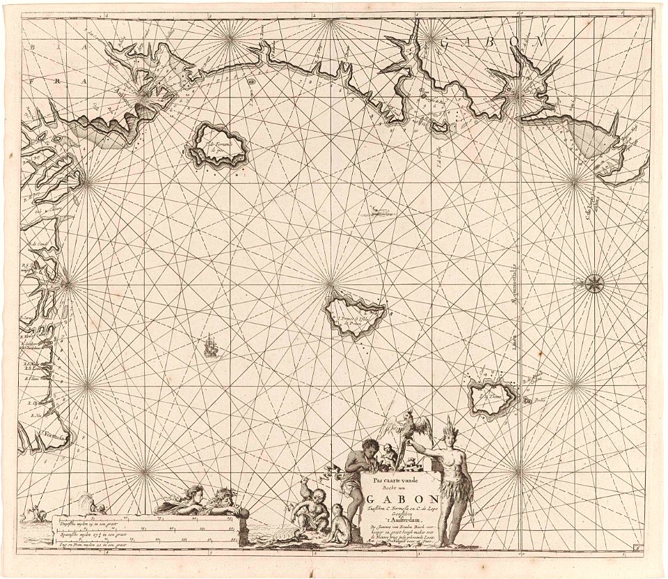
sea
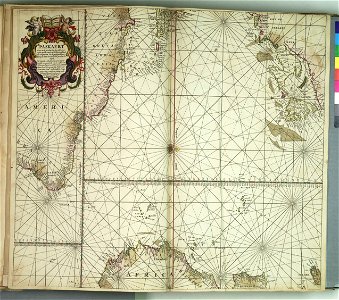
atlas van der hagen (volume 4)
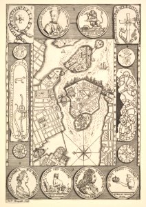
maps with cartouches
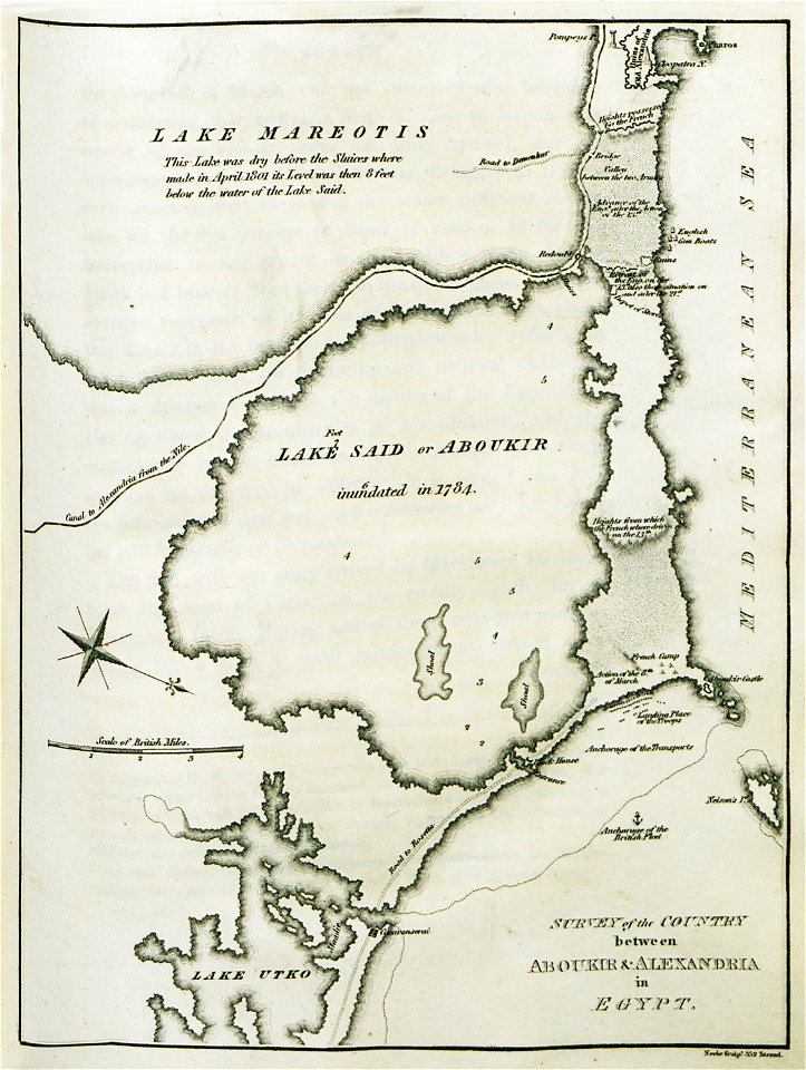
old maps of alexandria
asia and africa
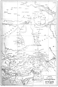
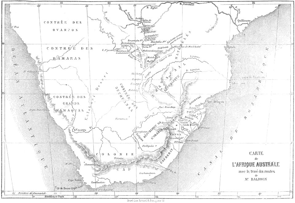
volume 9 of le tour du monde
1860s maps of africa
volume 9 of le tour du monde
1860s maps of africa
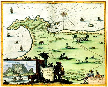
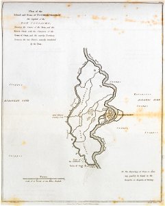
maps of the dutch east india company - south africa
maps of the dutch east india company - south africa
maps of the dutch east india company - south africa
maps of the dutch east india company - south africa
black
blue
french colonization in africa
military maps
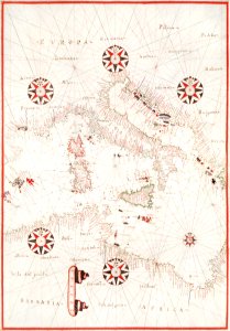
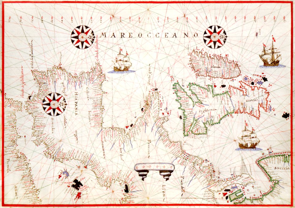
maps made in the 17th century
gerard valck
maps made in the 17th century
gerard valck
dutch 17th-century prints in the rijksmuseum amsterdam
old maps of africa
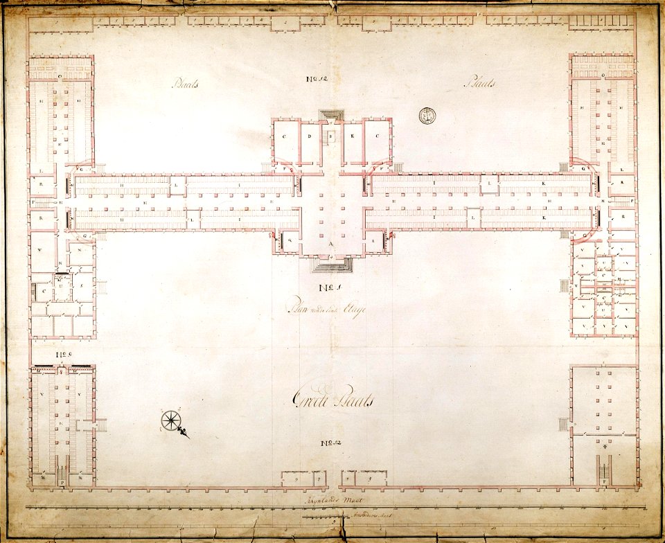
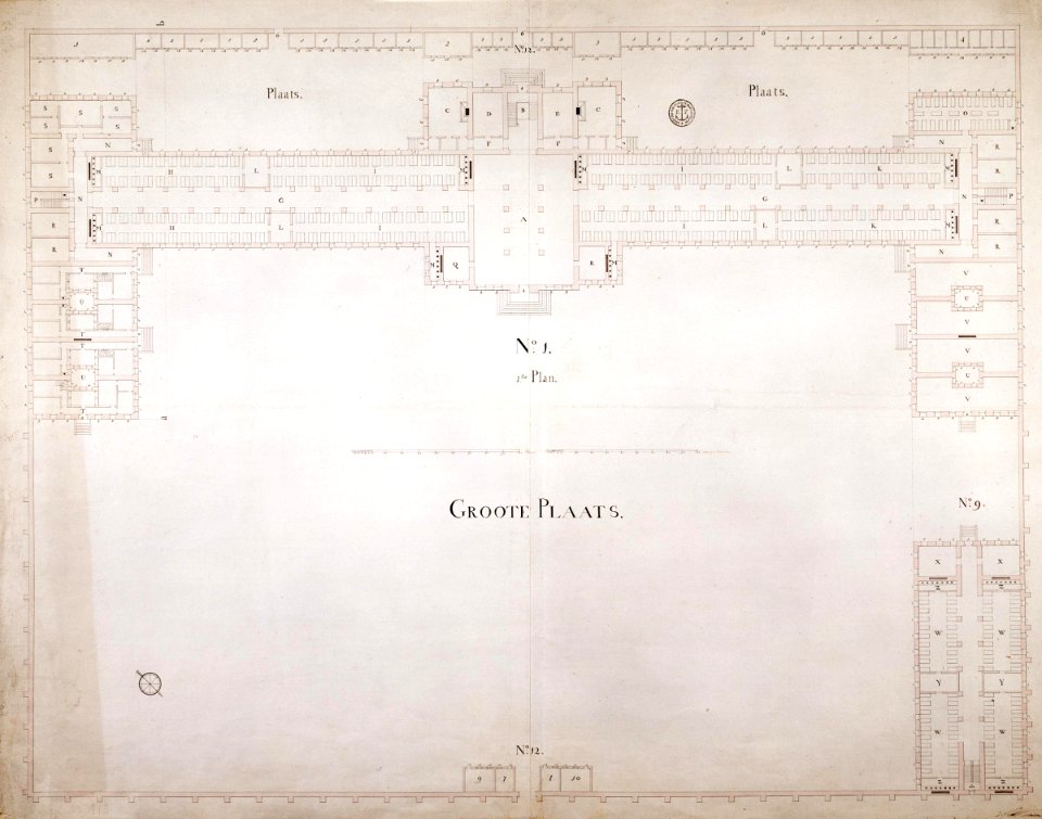
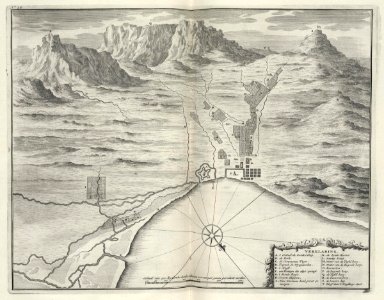
grand parade
cape town
17th-century engravings
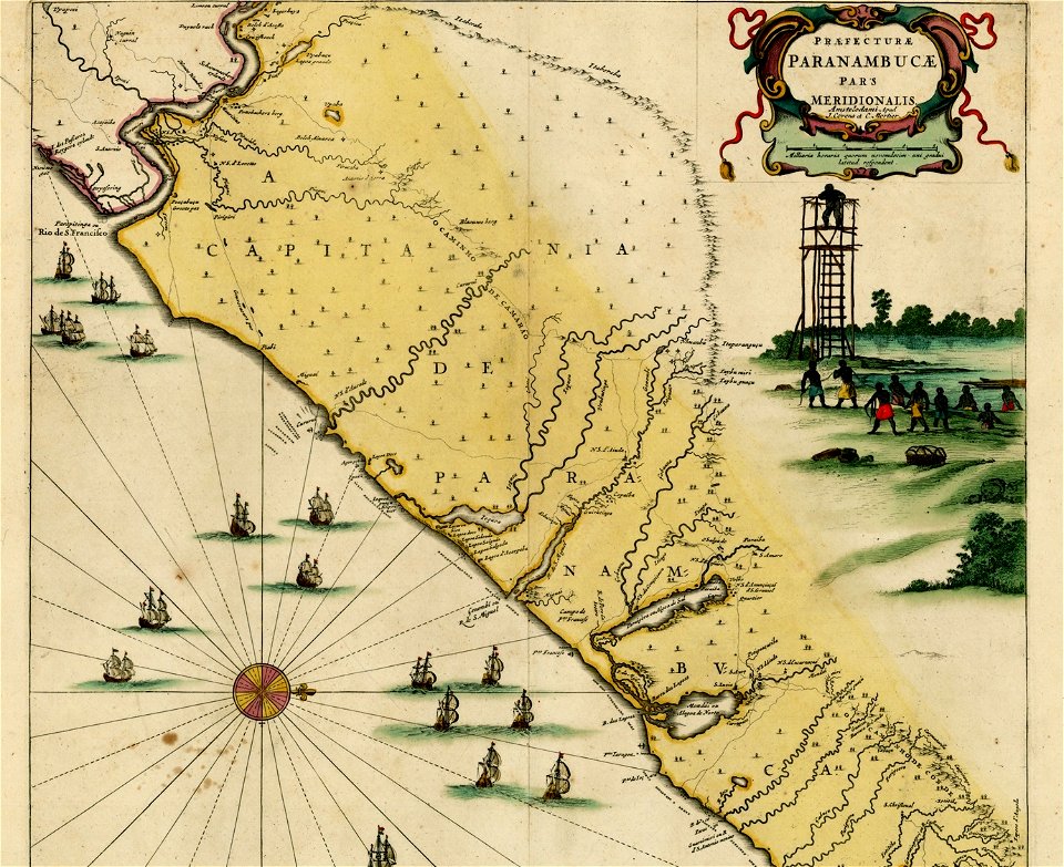
frans post
maps of the dutch east india company - south africa
1753
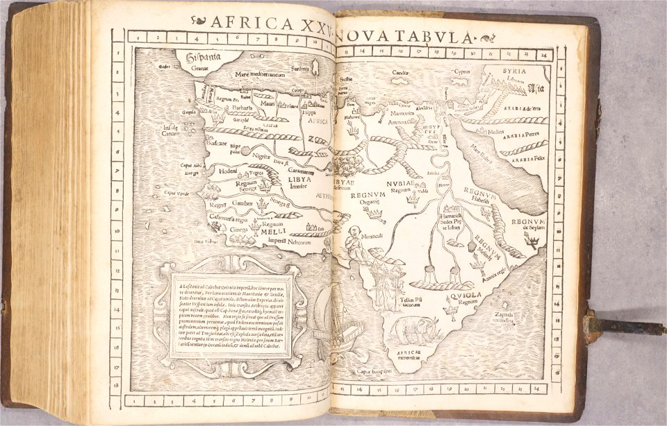
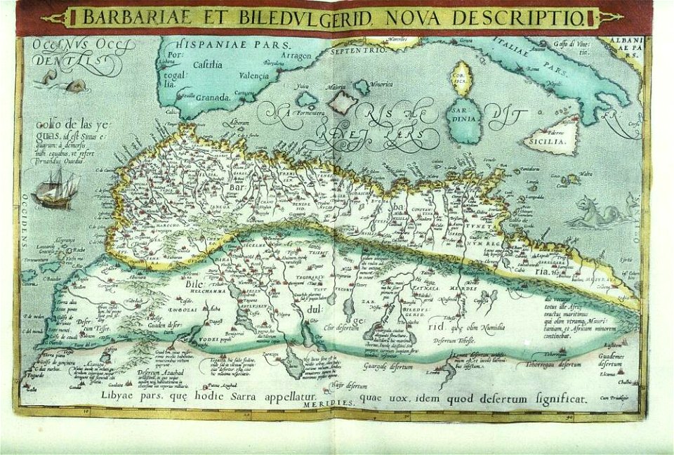
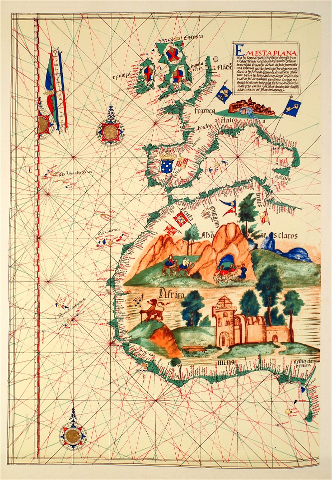
1550s maps of africa
1552
maps by jacques-nicolas bellin
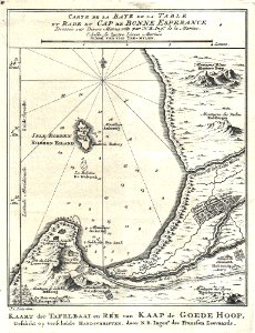
table bay
asia and africa
1813 maps
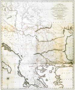
old maps of greece
old maps of turkey
maps with cartouches
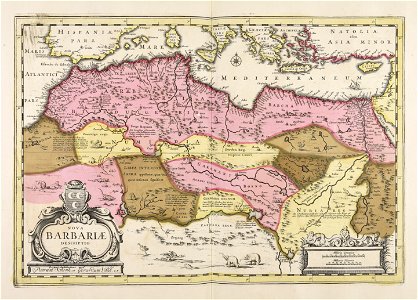
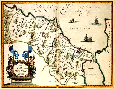
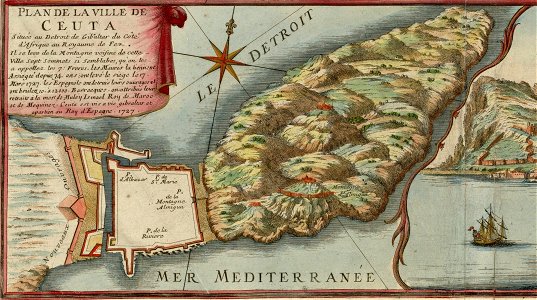
old maps of morocco
prints from bonne atlas de toutes les parties at the peace palace library
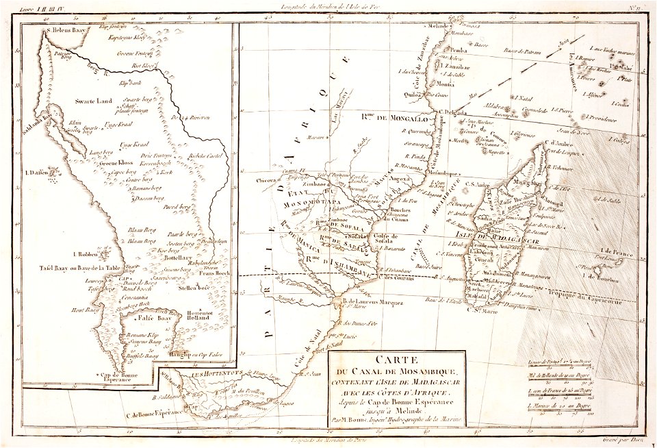
maps of the comoros
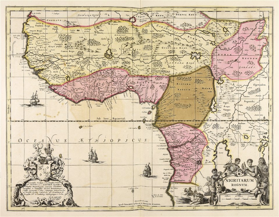
maps of the dutch east india company - south africa
1726
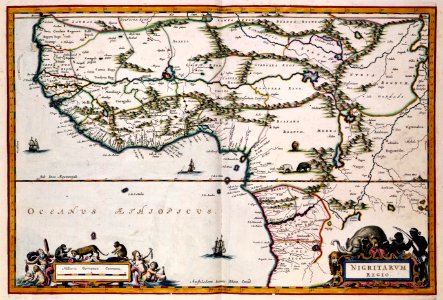
old maps of the democratic republic of the congo
through the dark continent
maps of the dutch east india company - south africa
1726
old maps of africa
heinrich barth
maps of the dutch east india company - madagascar
1598
historical maps of western sahara
dien (printer)
atlas van der hagen (volume 4)
maps with cartouches
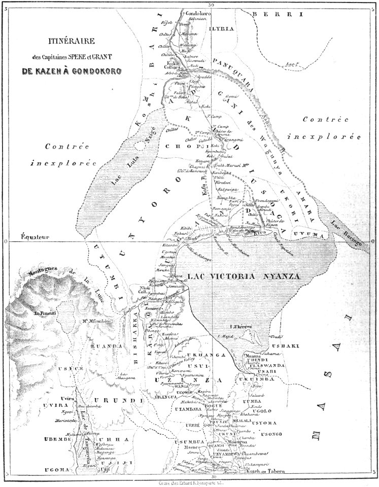
volume 9 of le tour du monde
john hanning speke
l'illustration
1865,
gerard valck
marocco
volume 8 of le tour du monde
old maps of south africa
spain in the 1720s
nicolas de fer
files from the bodleian libraries
old maps of africa
vintage
maps
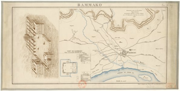
bamako in the 1880s
military maps
french colonization in africa
military maps
collections de la bibliothèque nationale et universitaire de strasbourg
old maps of asia
bamako in the 1880s
military maps
french colonization in africa
military maps
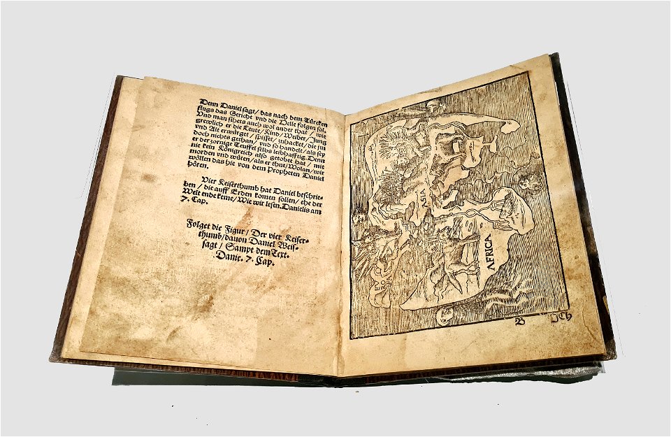
cosmographia - beschreibung aller lender durch sebastianum munsterum (1545)
1540s maps of africa
files from the bodleian libraries
old maps of africa
how i found livingstone
djvu files in french
how i found livingstone
djvu files in french
artworks without wikidata item
19th-century maps of africa
a.de la motraye's travels through europe, asia, and into part of africa (1723) by la mottraye
18th-century maps of stockholm
travels in various countries of europe
asia and africa
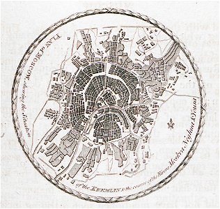
don in rostov oblast
novocherkassk
atlantis magni tomus quintus (biblioteca comunale di trento)
maps made in the 17th century
prints from bonne atlas de toutes les parties at the peace palace library
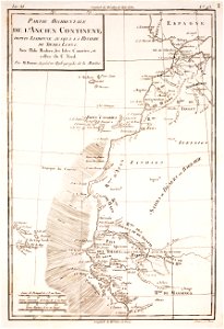
18th-century maps of africa
paintings of men with open books
paintings in nordiska museet
cellos in art
artist
heterosexual sex in black and white art
maps of africa in art
charts and maps of the royal museums greenwich
slave ships
printing
cornell university library
thomas paine
afonso v of portugal
fra mauro map
european exploration of africa
portuguese empire
history of antwerp
renaissance
maps of the european exploration of africa
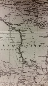
19th-century maps of south sudan
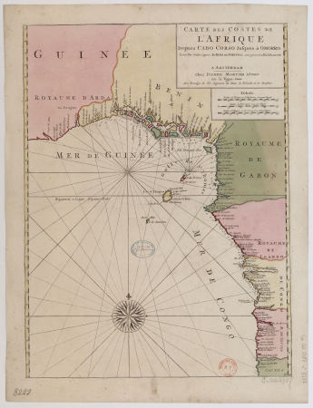
carte de barbarie, nigritie, guinée par guillaume delisle (1707)
maps in the library of congress
maps of abyssinia by mercator-hondius
maps of the kingdom of kongo
carte de barbarie, nigritie, guinée par guillaume delisle (1707)
maps in the library of congress
maps by thomas kitchin
andrew dury
alphabet charts
lord's prayer
synopsis universae philologiae
maps of continents
maps by alain manesson-mallet
1719 maps of africa
maps by jacques-nicolas bellin
maps by jakob van der schley
james bruce (explorer)
hiob ludolf
james bruce (explorer)
hiob ludolf
maps by richard william seale
1750 maps of africa
maps by richard william seale
maps by malachy postlethwayt
17th-century maps of africa
maps from gallica
15th-century maps of the iberian peninsula
15th-century maps of africa
maps by henry winkles
maps by john rapkin
atlas van der hagen (volume 4)
atlas van der hagen
maps by nicolas sanson
jan van somer
1370s maps of egypt
catalan atlas
eran laor cartographic collection
william henry toms
maps from the earth and its inhabitants, vol. xii
africa in the 1890s
monomotapa
mutapa
synopsis universae philologiae
1741 maps of europe
arnold van langren map of southwest africa
renaissance
maps by johann christoph weigel
maps by christoph weigel
maps by johann christoph weigel
maps by christoph weigel
maps from the earth and its inhabitants, vol. x
1890 maps of africa
synopsis universae philologiae
1746 maps of africa
maps from the earth and its inhabitants, vol. xi
1891 maps of africa
media contributed by university of illinois urbana-champaign university library
1752 maps of africa
19th-century maps of west africa
maps by thomas starling
maps by girolamo porro
1596 maps of africa
maps by girolamo porro
1596 maps of africa
maps by girolamo porro
1596 maps of africa
maps from the earth and its inhabitants, vol. xii
africa in the 1890s
maps from the earth and its inhabitants, vol. xiii
africa in the 1890s
old maps of south africa
1879 maps of africa
maps by tobias conrad lotter
maps by tobias lobeck
maps from the earth and its inhabitants, vol. xi
1891 maps of africa
201 - 300 of 1,579
Next page
/ 16